Ground Penetrating Radar (GPR) is a safe, non-invasive way to “see” what’s under the ground without digging. By sending high-frequency radio signals into the surface and measuring how they bounce back, we can locate buried utilities, structural features, and other underground points of interest with a high degree of accuracy.
The big advantage of GPR is that it allows us to confirm what’s below before work begins, helping prevent costly mistakes, damage, and delays.
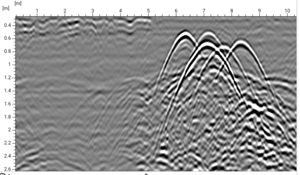
HOW GPR WORKS?
A GPR system has three main components: a transmitter, a receiving antenna, and a control unit. The transmitter sends short bursts of electromagnetic energy into the ground. When these signals hit something with a different density – like a pipe, void, or layer change – they reflect back to the receiver.
The control unit records the returning signals and converts them into a visual profile of the ground beneath. Interpreting these images correctly takes training and experience, which is why having skilled technicians is just as important as having the right equipment.
What We Can Locate with GPR
Our GPR surveys are commonly used to find:
Underground pipes and utility lines
Concrete structures and reinforcement
Rock formations and obstructions
Voids or air pockets
Previous excavation and backfill areas
Groundwater levels
Changes in soil or ground layers
GPR for Utility Mapping
At The Leak Detection Company, we often use GPR alongside our other locating tools to build a complete picture of what’s underground. This is especially useful for finding non-metallic utilities that traditional locating methods might miss.
We can mark the findings directly on-site and provide a clear, easy-to-read map showing exactly what we’ve located and where.
Why Choose GPR?
No digging or ground disturbance required
Works on both metallic and non-metallic utilities
Can measure depth and size of underground features
Safe to use in public areas and on sensitive sites
Fast data collection over small or large areas
Leaves the ground and surface features untouched
Things That Affect GPR Results
Soil type and condition – Wet, clay-rich soils may limit penetration, while dry sandy soils allow deeper scans.
Depth limits – Depending on soil type and antenna used, GPR can detect objects from a few centimetres down to several metres deep.
Moisture content – High groundwater levels can change how signals travel, affecting image clarity.
Non-Invasive Scanning for Safer Projects
We provide GPR services across the Waikato for construction, infrastructure, farming, and private property projects. Whether you need to locate a single utility line or map a complex network, we’ll give you the accurate information you need before breaking ground.